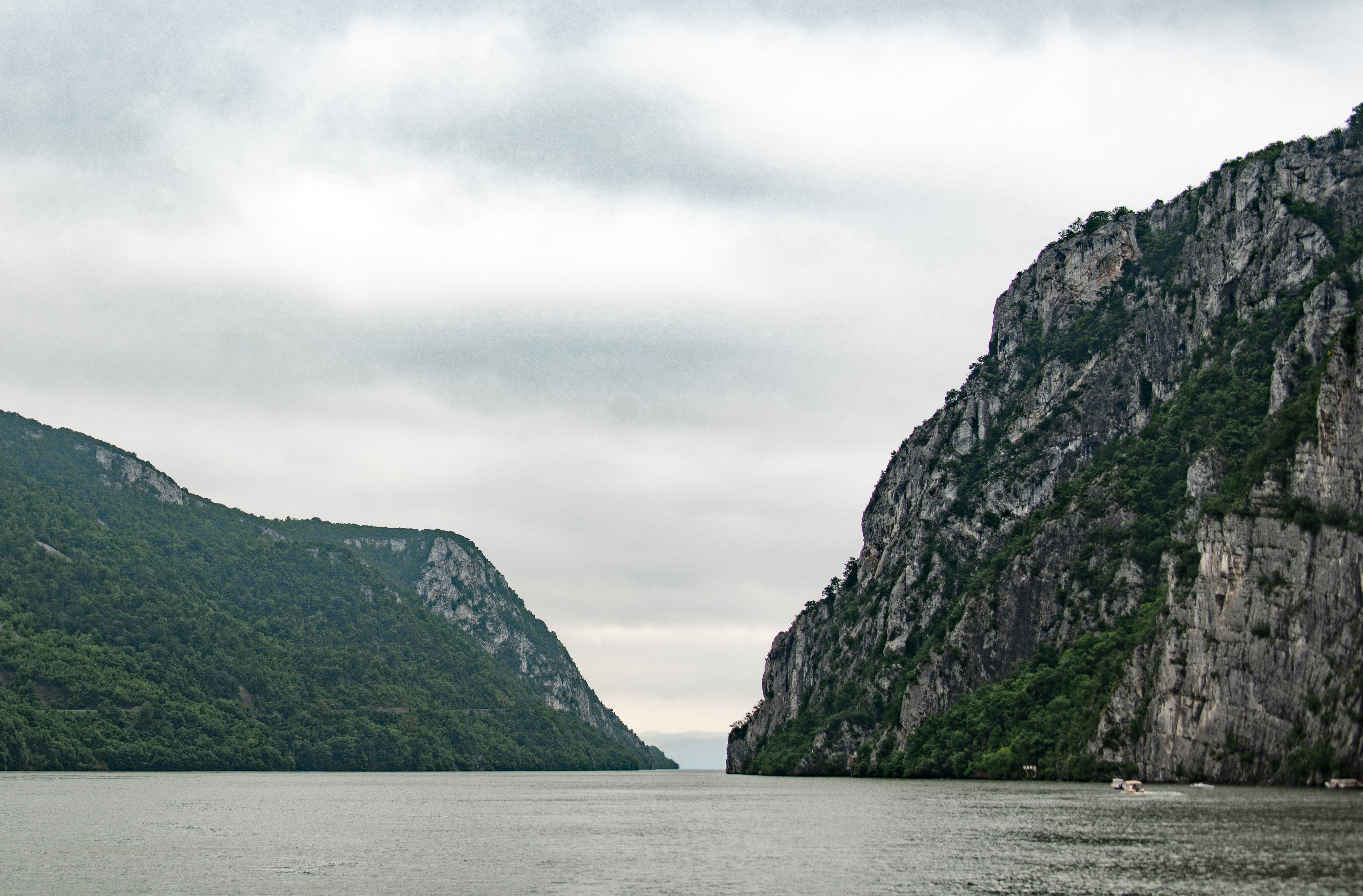
Today we are on the boat all day sailing through the Iron Gates. This is a specific portion of the Danube that is the boundary between Romania and Serbia. It is a gorge between the Carpathian Mountains on the Romanian side and the foothills of the Balkan Mountains on the Serbian side. It is heavily wooded and also very rocky. The Danube along this area has 2 locks and also has a dam.

Iron Gates area of the Danube
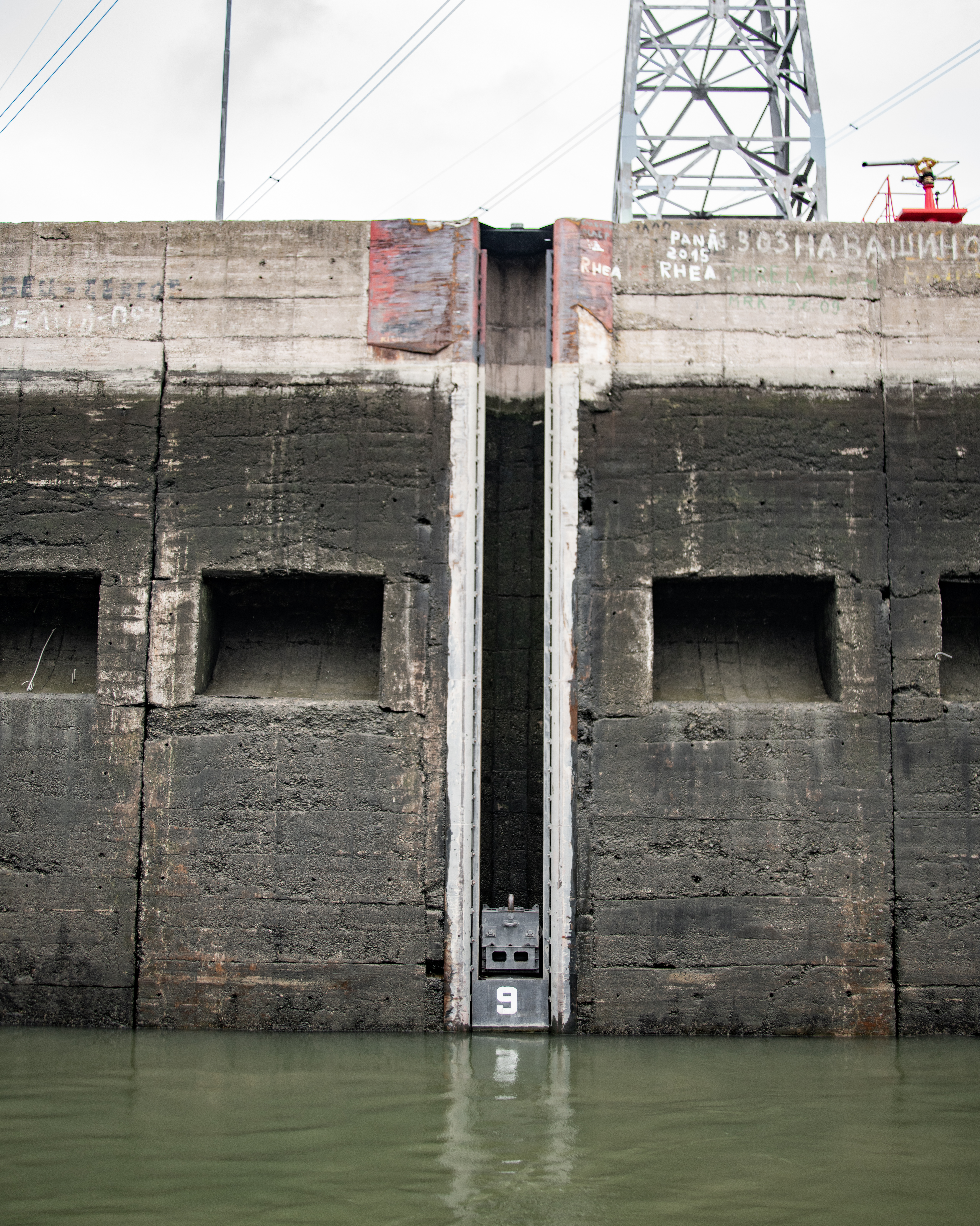
We went through the Iron Gates 2 Lock while we were sleeping, but got up in time to watch us go through the Iron Gates 1 Lock. We went through the Serbian side. This is the apparently 5th largest lock and power station in Europe. It is 75 m high and opened in 1972. Has 2 separate portions to it. Now, we have gone through a number of locks but this is the first one we have seen that doesn’t open like doors: the lock moves up and down instead. They use the locks and dam to provide power to both Serbia and Romania. Each country has their own equipment to generate power and we were told that this facility provides over half of Serbia’s power and 25% of Romania’s.

lock

part of the mechanism we were tied to
same mechanism across the lock

behind us in the lock

looking ahead in the nearly full lock

monument to the former Yugoslavian dictator Tito on the hill

power plant
Obviously, when they make a dam they flood towns which have to be moved. They also completely flooded an island, Ada Kaleh, that had been mostly inhabited by Turks. The island was considered part of Turkey until it was ceded to Romania in 1923. When the island was flooded, much of the Turkish community there emigrated to Turkey rather than being relocated to the nearby island in Romania where the government was trying to resettle them.
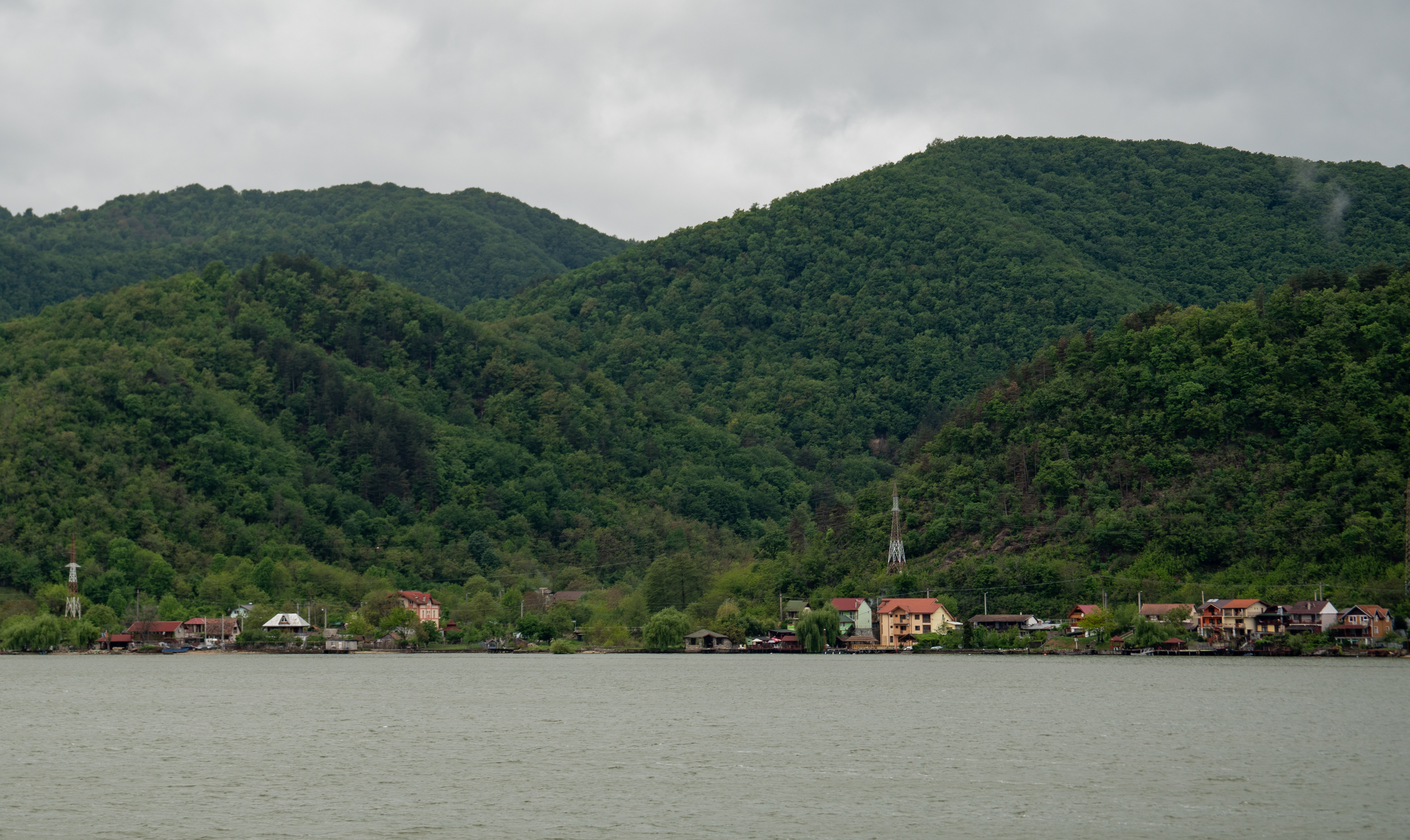
town of Orsova, Romania
As we sailed through the Iron Gates there were a few interesting sights.
We passed by the Tabula Traiana which is a Roman plaque commemorating the completion of one of Trajan’s military roads which was on the Serbian side of the Danube. This plaque was moved up when they built the Iron Gates 1 Power Station because it raised the water level.

Tabula Traiana
We also passed by the stone carving of Decebalus. I mentioned him briefly a few days ago. He was the last king of Dacia from 87-106 AD. Dacia was an ancient precursor of Romania. He successfully secured Dacia’s freedom from Rome for a time, defeating 2 Roman emperors in battle. The emperor Trajan invaded Dacia and Decebalus was defeated. For a while Trajan let him remain in power as a puppet ruler for Rome, but Decebalus continued to assert for independence. Trajan brought more forces into the area, overwhelming Decebalus’ forces. Rather than being taken captive, he committed suicide. His head and right hand were taken to Trajan as a trophy. Decebalus is considered a Romanian hero and is seen as the ideal of national freedom and resistance to imperialism. In the 1990s, his 131 ft tall face was carved into stone along the Danube.
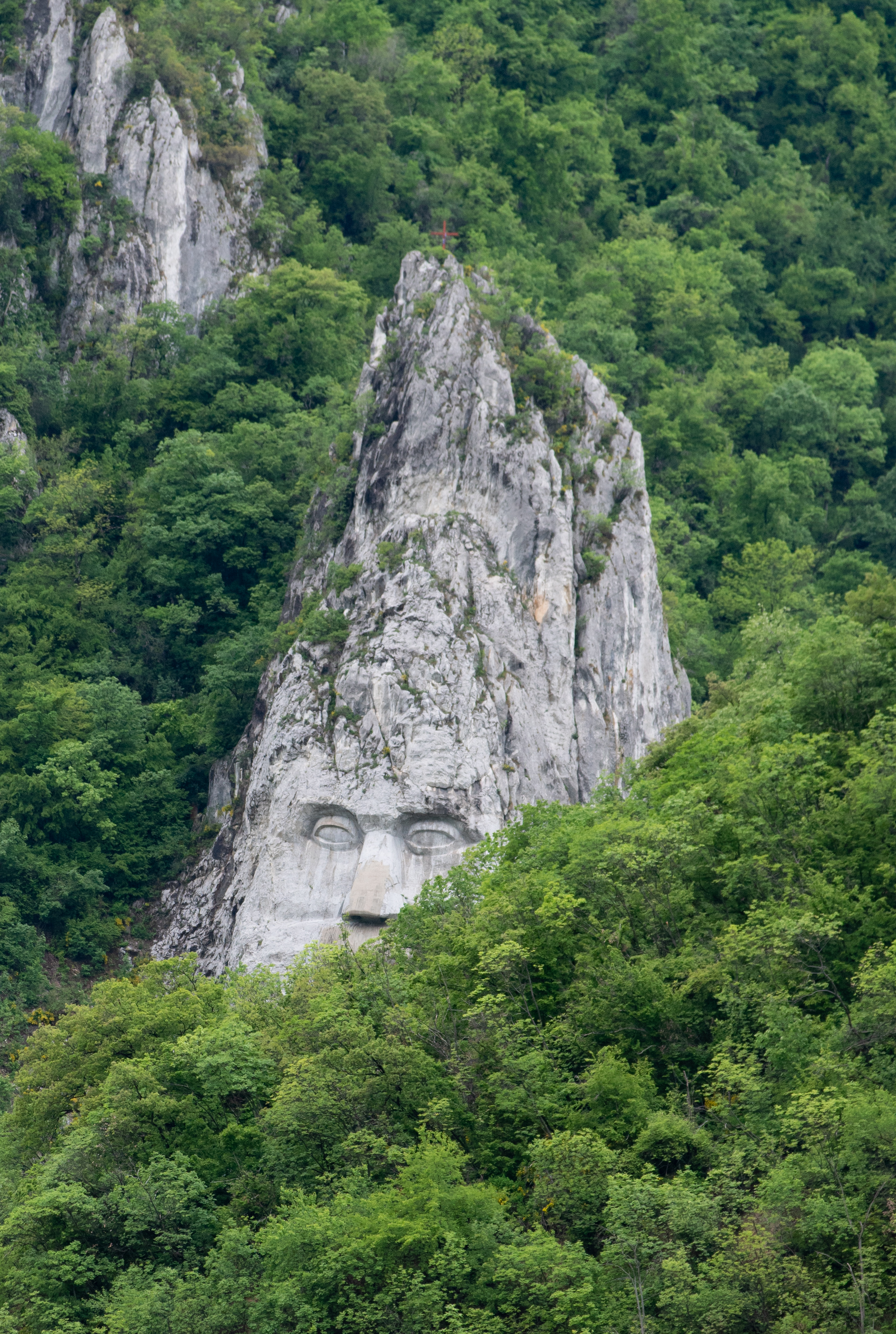
Decebalus peeking out
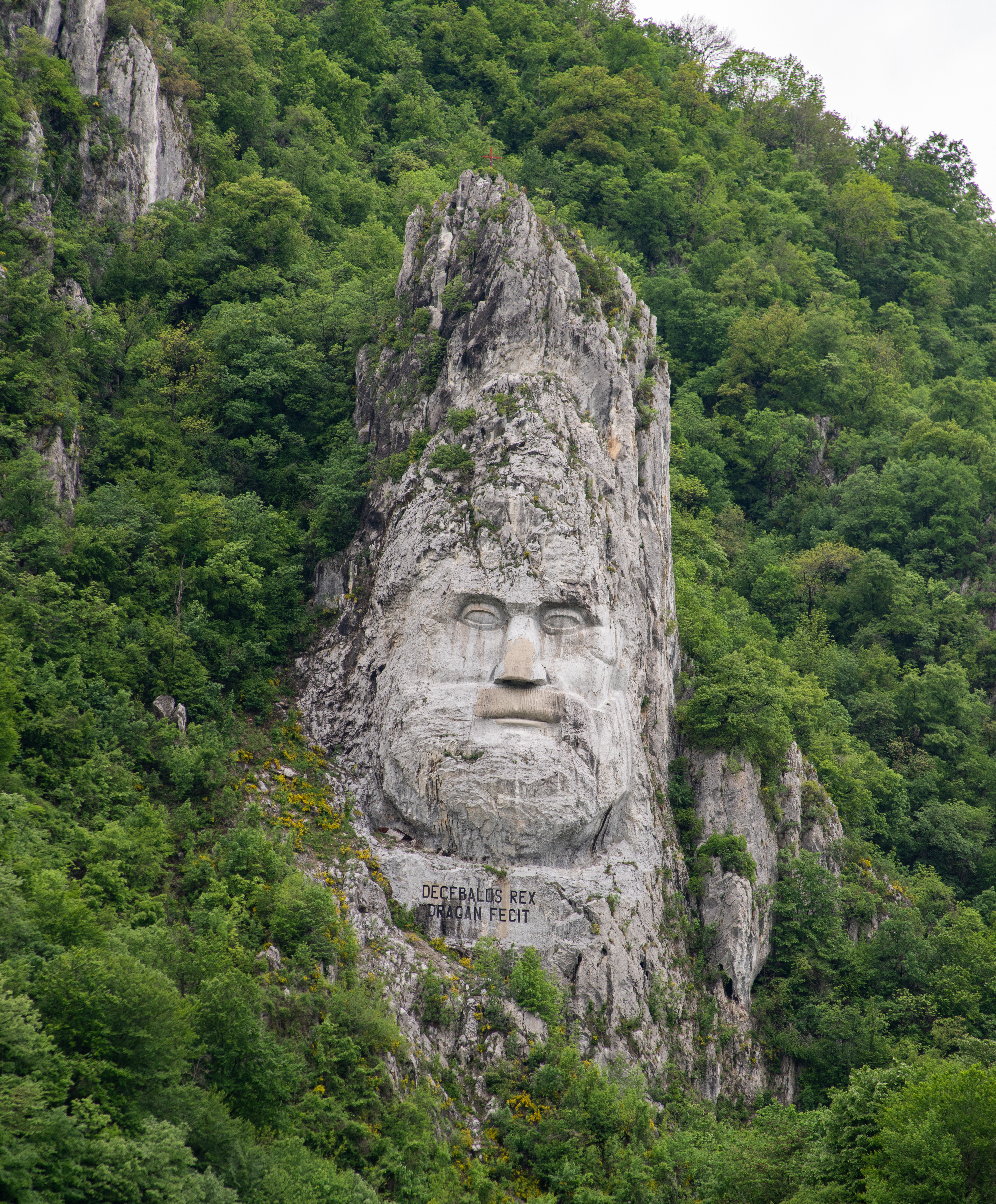
Decebalus

Monastery by Decebalus
scenery
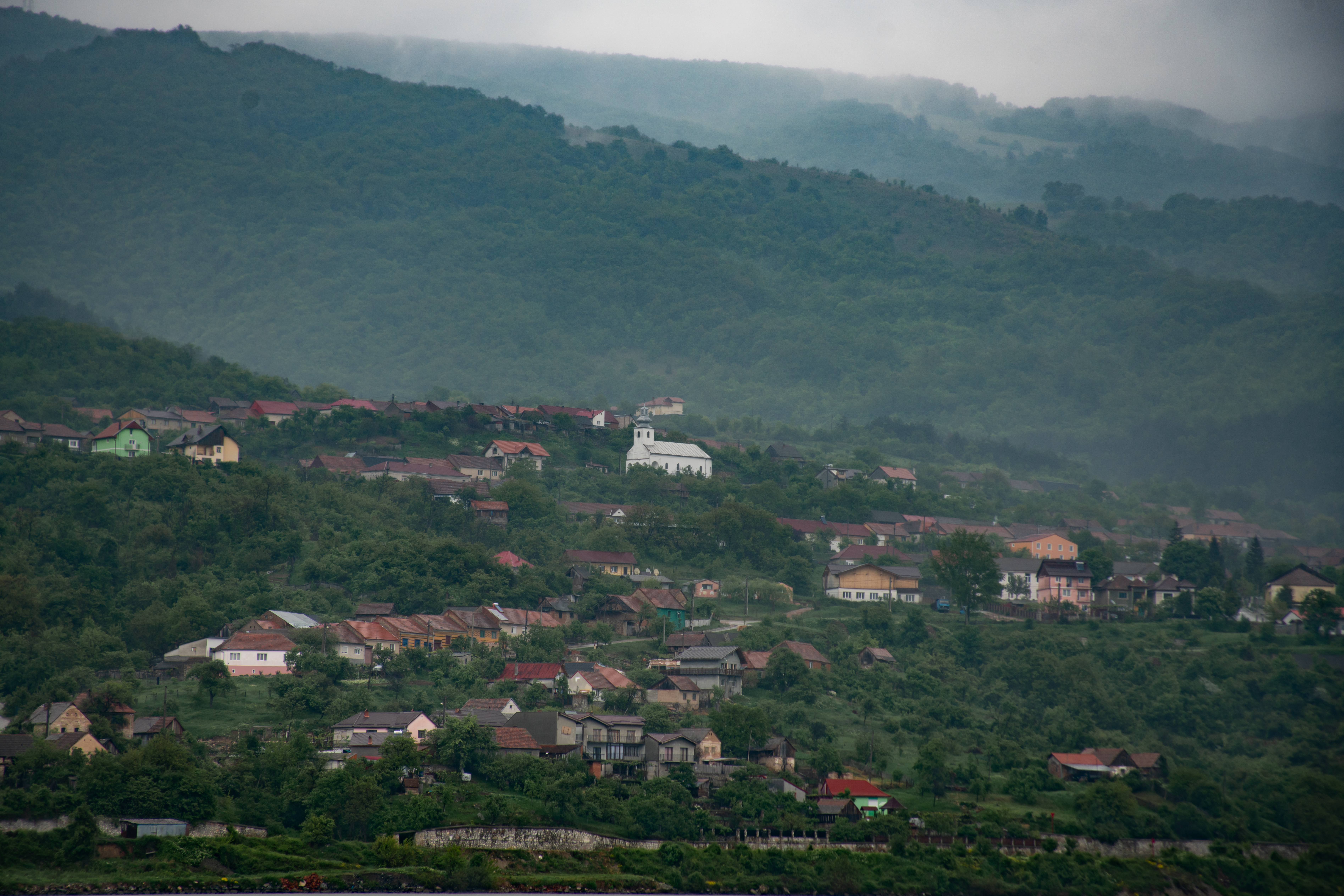
another town along the way

low clouds
At the far end of where we sailed today was the Golubac Fortress in Serbia. It is uncertain when it was built or who it belonged to initially, but it was first mentioned in 1335 in when it was occupied by the Hungarian military. The fortress is known for successfully repelling over 120 attacks during history. Like many other similar structures, it has been modified over time. The current fortress has 10 towers and a palace with a moat which connected to the Danube. In recent years the fortress was reconstructed and opened up for tourists.

Golubac Fortress
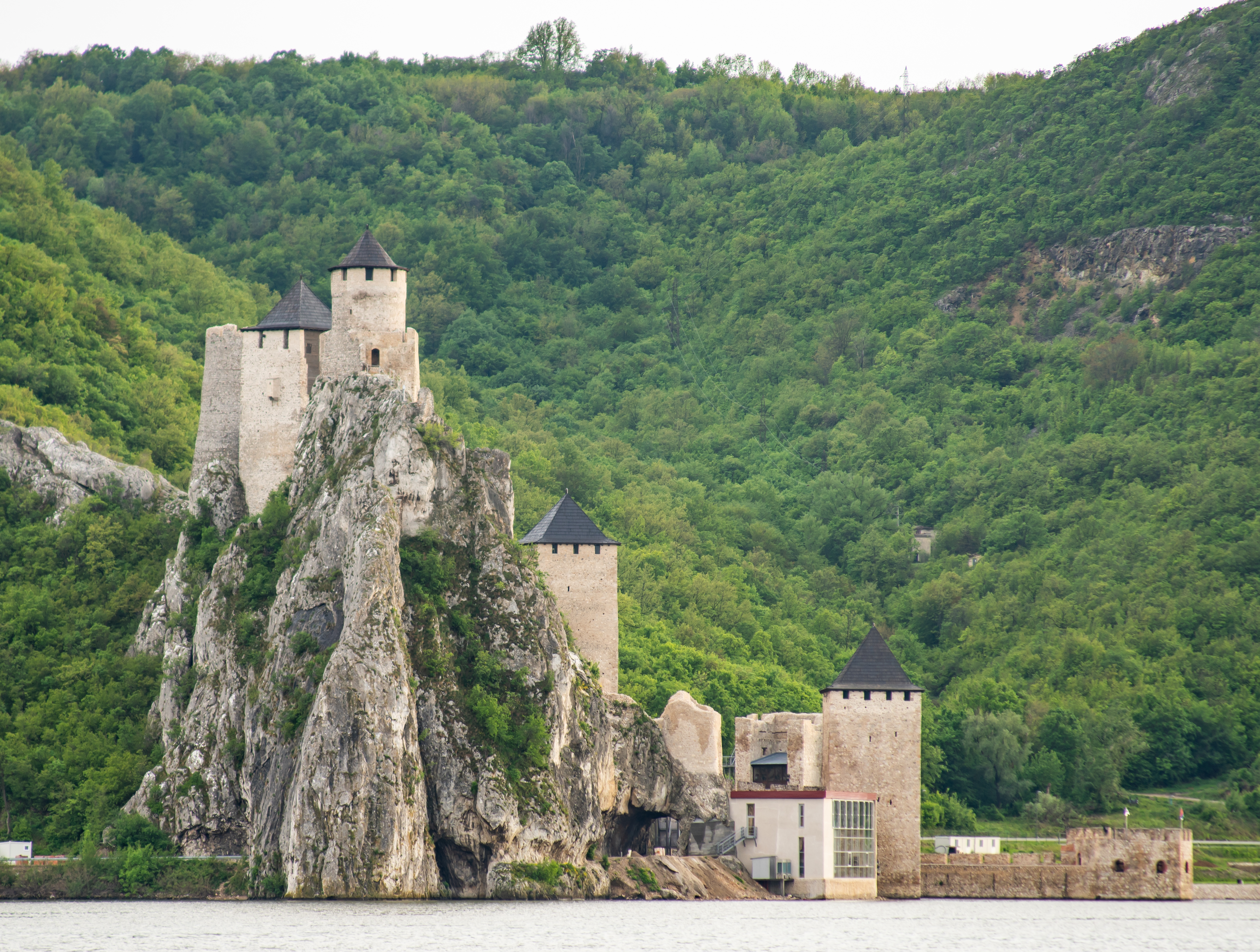
Golubac Fortress
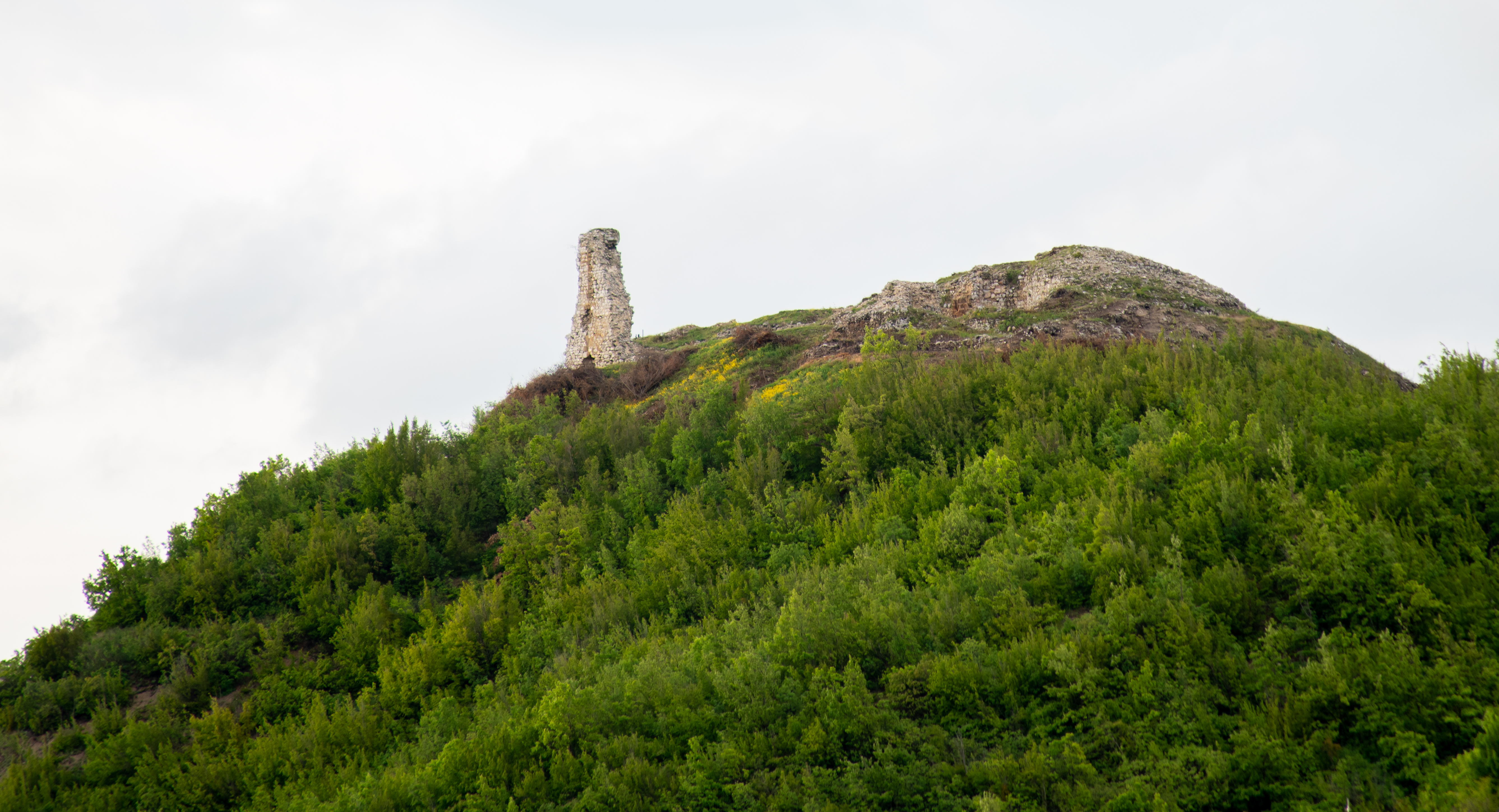
ruins across the river from Golubac Fortress
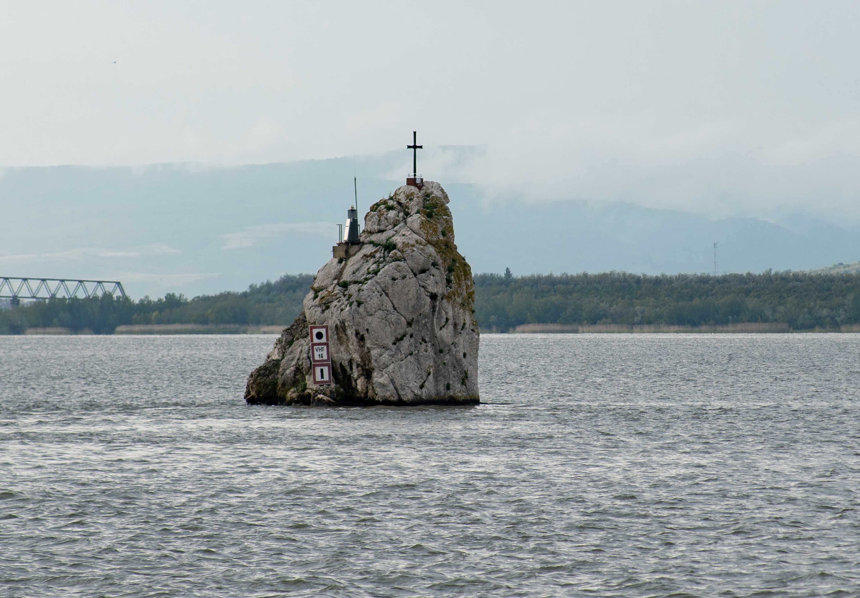
Rock in the middle of the Danube

Golubac Fortress
Today was really rainy, which means minimal pictures and no sun. It was relaxing, though.

Leave a comment